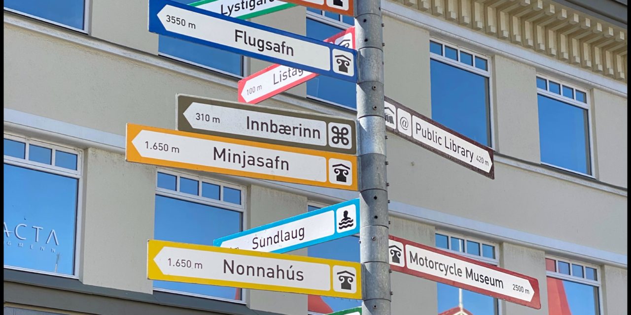
Today we left the Troll Peninsula and headed to the town of Husavik in the North Region, but not before Paul’s wallow in the hot pot and infinity pool. It was an easy day of driving today, a good deal of it on the actual Ring Road, with a couple of stops along the way. The main highway around the country, Route 1, is a two-lane road. We got to our camp ground about 6:00-6:30 pm
The town was a famous fishing harbor in the past, now they are famous for the “Best Whale Watching in Iceland”, and their deluxe hot pots by the sea, which seem pretty fancy based on their description. Paul snagged us the last two seats on a small boat going out at 9:30 am tomorrow, on the Whale & Puffin tour.
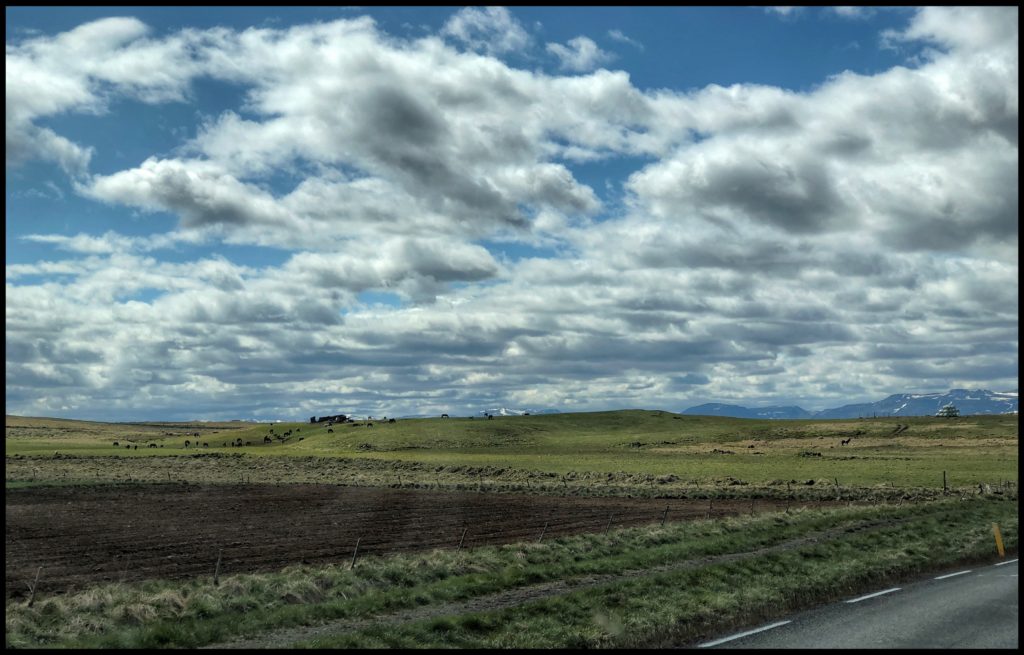
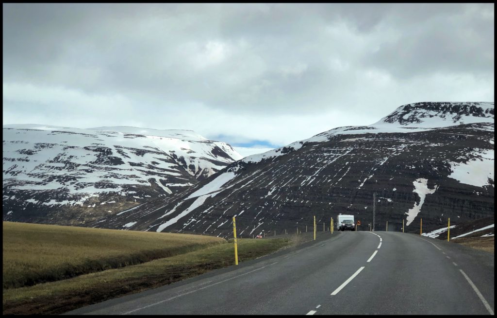
The landscape changed quite a bit as we were moved though it. There were still plenty of horses, green fields and farmland in various stages of planting and mountains to view along the way. But, gone were the browns and dusty green pallet of the Westfjords, here the mountains are darker, some appearing even black. They were closing in on the wide open land. In some places making the road seem like a mountain pass and their tops were covered with glaciers.
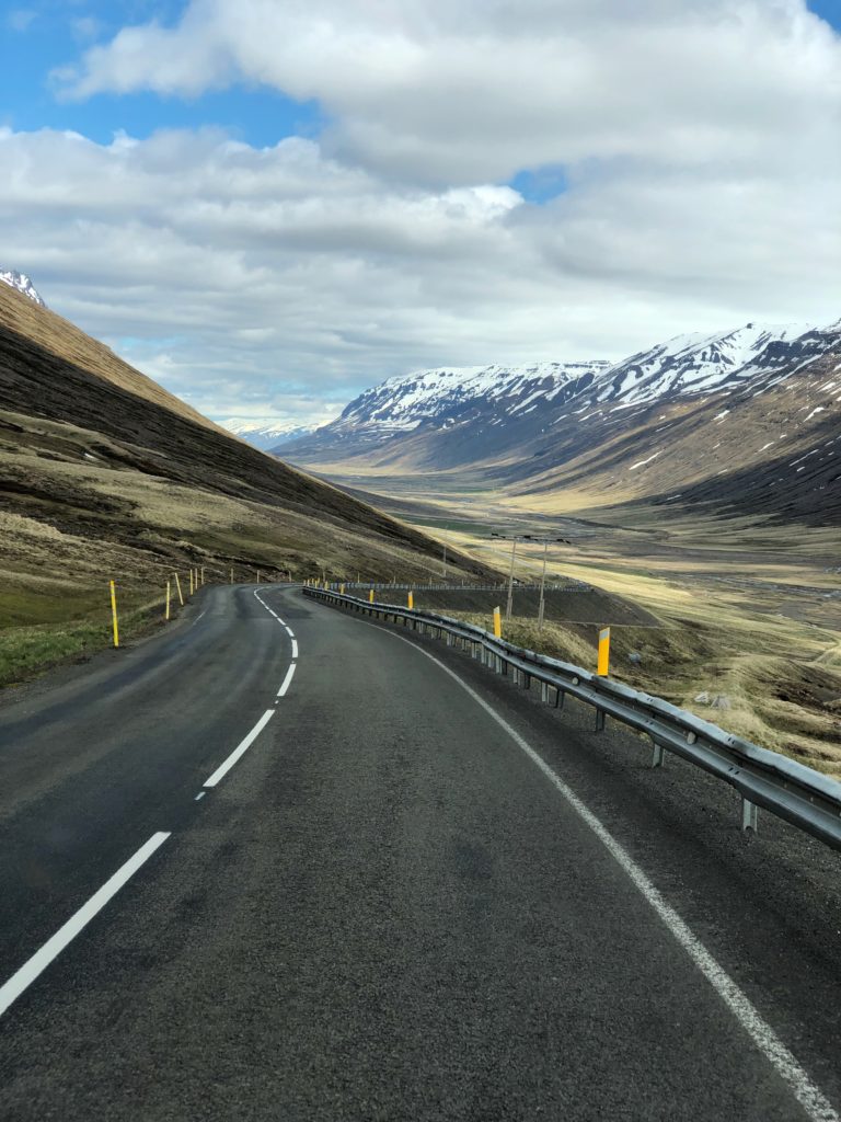
Many along the roadway were covered with long deep vertical deep groves created by the melting snow and along those paths grew bright green plants I am guessing the green was some kind of moss.
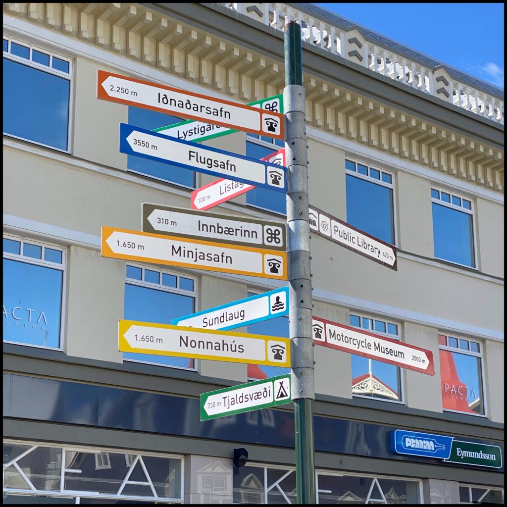
Our first stop today was in the capital of the north Akureyri. We found a place to park the camper in the center of town and had a look around the city. It was a very cute old city, you can still see some of the old architecture in with the new. We got some lunch and hot coco and hit the road again. I didn’t take any photos of the town : (
But Paul did YAY!
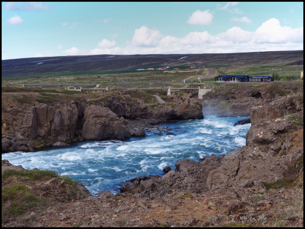
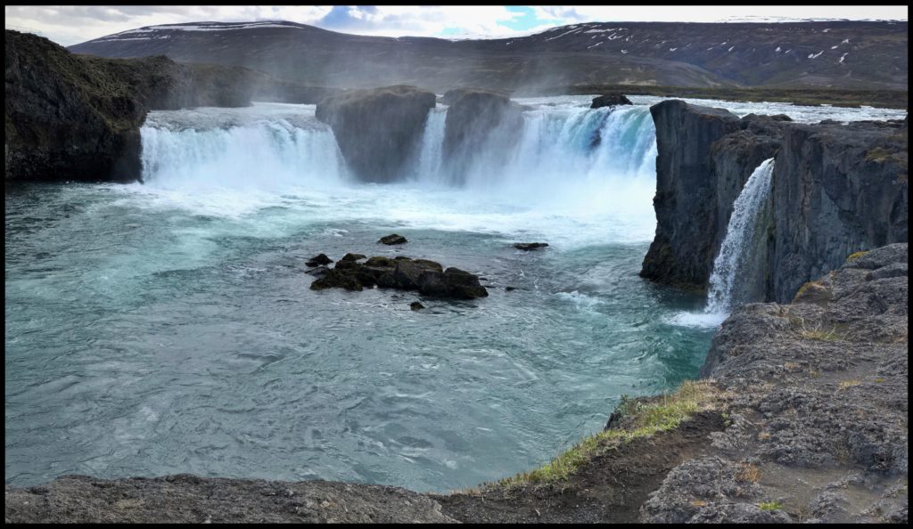
We detoured for a visit to Godafoss. Since it ends in foss, you may have picked up the naming pattern here and figured out it is a waterfall. It was created by the fourth largest river in Iceland called Skjlfandafljot. It is a semi-circle shape and the water has an amazing green & blue hue to it. It’s name means waterfalls of the gods, there is a story behind the name, but you can look that up.
After that we headed for our campground making it an early night for us. This midnight sun light here around summer solstice time is very interesting. In the late afternoon, it appears to be about 5:00 or 6 pm for hours. And, morning light seems to look like 9 or 10 am and it lingers there from about 4:00 am till nearly noon.
