Overnight rain arrived a bit after 10:00 pm and continued off and on throughout the night. The light tapping sound on the roof created just the right amount of noise to drift off to sleep super easily. Well, so does being tired after traveling all day, but the rain added a nice ambiance.
I woke up early as usual at about 4:30. It was still pitch dark and the rain was still trying to decide if it would stop or keep on going. When the daylight finally appeared, there was a lot of misty fog lingering over and among the trees. It was pretty brisk outside. We decided to take a driving tour around Bennington and maybe find a place to grab a coffee.
We didn’t take a lot of photos with the off and on rain. We made our own route through the downtown area, little side streets, and different neighborhoods. It is a historic city, with a nice old downtown, with many of its early buildings still intact. One of their biggest remaining mill buildings seems to have been thoughtfully repurposed as a small business hub.
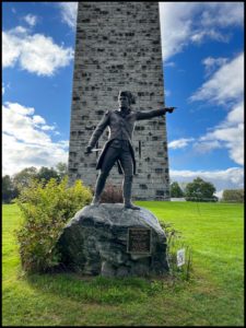
High up in the oldest part of the city is the old historic village. We learned that Bennington was the first town in Vermont settled in 1749. The old village is laid out nicely, like many villages of its age, with houses on either side of the village green and a church located somewhere near the center. Also, in this older area is a Revolutionary War battle monument, the tallest human made structure in the state. Viewable from just about any street in the city below, it’s a commemorative monument to General John Stark’s victory .
Bennington seems like a place we could come back to and linger longer. In addition, to a number of nice looking restaurants, a bunch of craft beer pubs, and the Grandma Moses museum, the city offers many interesting events though out the year. According to the All Trails app, there are are a number of good bike trails in the area.
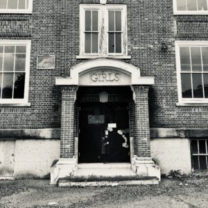
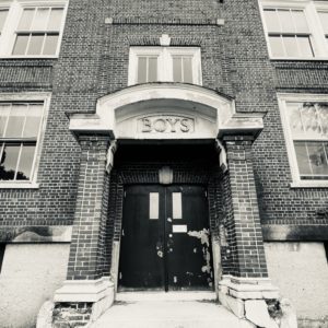
Something for everyone it seems, including Paul finding abandoned buildings to photograph, like this old school with separate entrances for Boys and Girls.
As we de-camped, we started on the Molly Stark driving trail, heading for the mountains. Upon seeing the small mountain roads, some unpaved and some with low weight limits, we decided to stick with Molly and follow the main road to I-91 North.
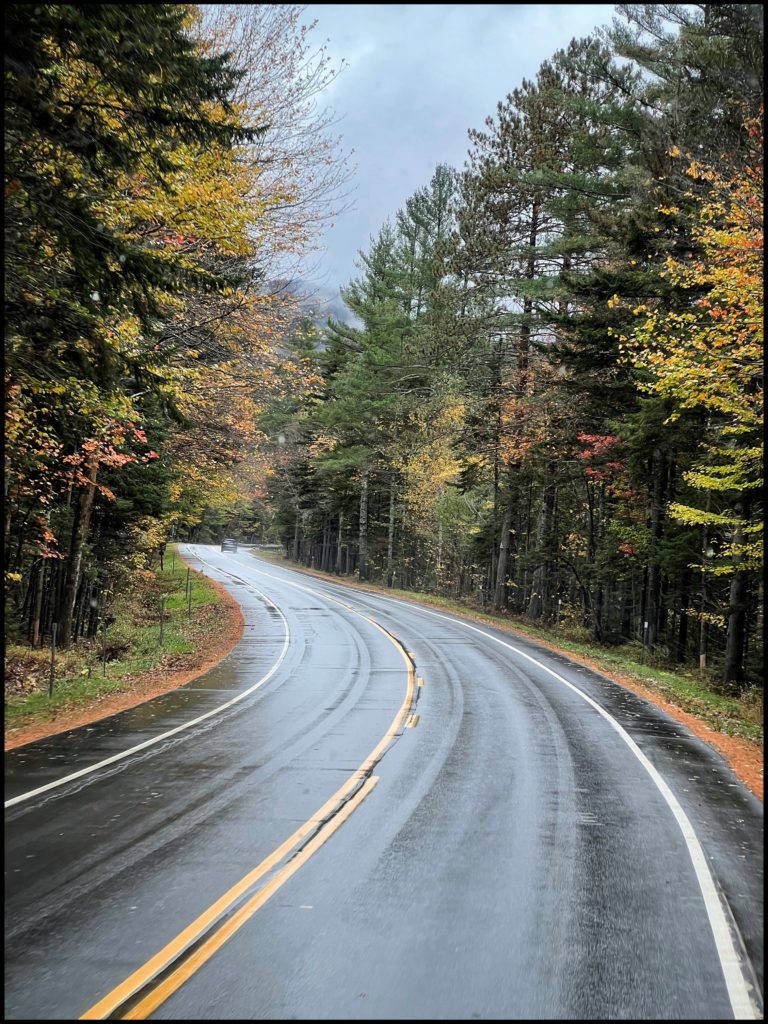
Molly Stark, you might ask? She is pretty famous in this area of Vermont and apparently in a few other states as well. She has the byway, a state park, a house, tavern, a village and a canon named for her. And, of course, she has her own Wikipedia page. https://en.wikipedia.org/wiki/Molly_Stark
I think someone needs to make a movie about the ladies of the revolution. Maybe a Ken Burns project???
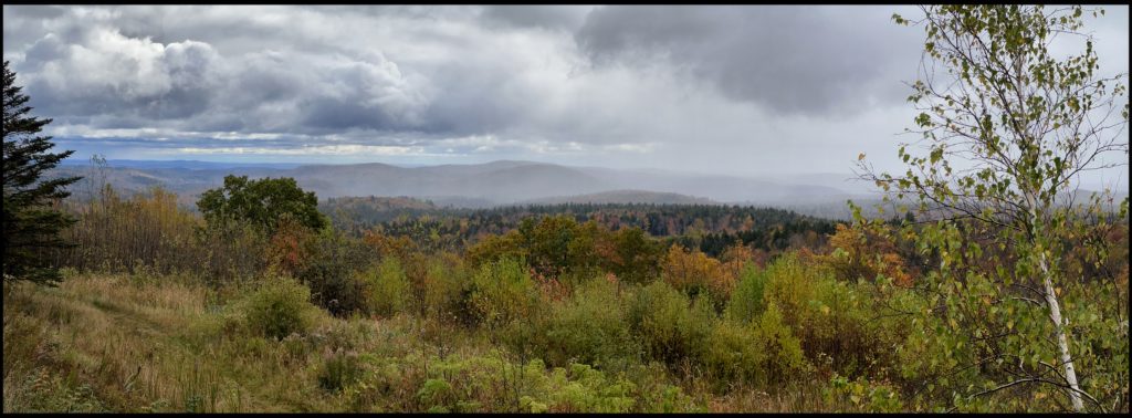
The varying degrees of rain and fog, followed by patches of sun, followed us all day and created a interesting assortment of light conditions. One overlook where today’s panoramic photo was taken presented us with a strikingly different view every fews minutes as the rain clouds moved through the valley.
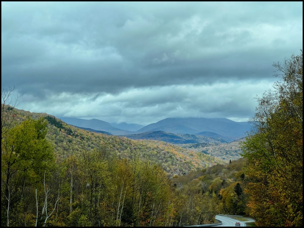
Tonight’s landing spot, the County Bumpkin Campground near Lincoln, New Hampshire, is where we will be parked for a few days. There we hope to explore, rain or shine (or snow!) the delights of the Kancamagus Trail.
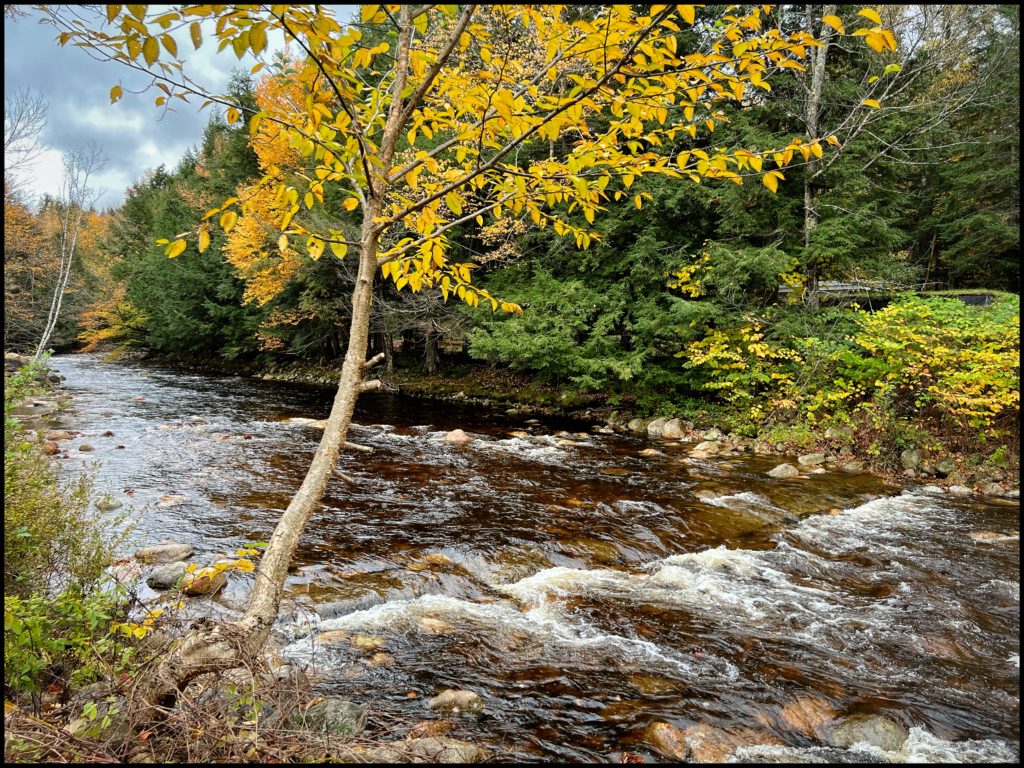
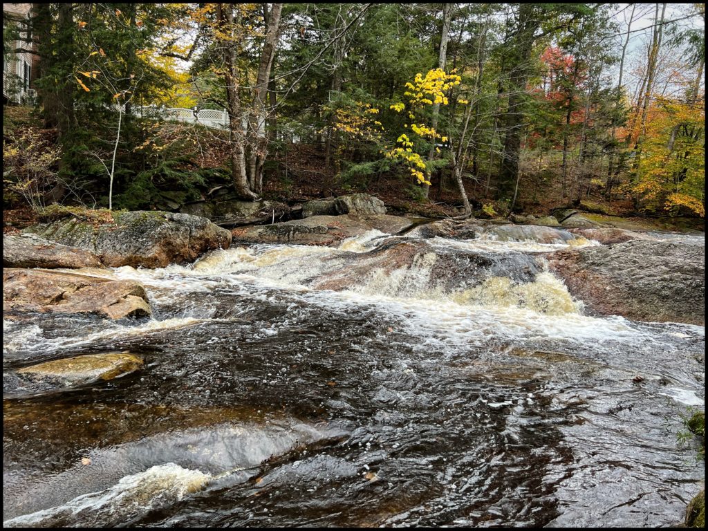
When we arrived at the campground, we discovered that it was actually closed for the season, but they were leaving a few full hook-ups available for the likes of us. Our campsite is nicely positioned alongside the bank of the Pemigewasset River, just upstream from a rather forceful little waterfall. The noise it was making could be heard across the campground and will be another soothing accompaniment for sleep tonight.
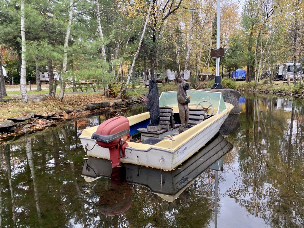
And below some images from around the campground.
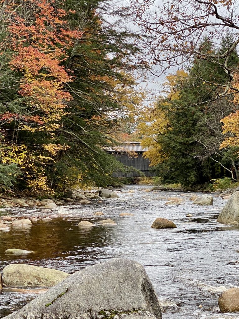
Beautiful Vermont
County Bumpkin Campground? What a great name.