Another cloudy day, but that was expected, it is autumn after all. It’s not raining, so that makes a nice change for today. We’re going to explore the White Mountain National Forest today, traveling along “The Kanc”, short for Kancamagus Highway, do a couple of walks, and hopefully get some photographs we can pop into the blog.
I made a big breakfast for us this morning. Paul thinks I should edit this bit out. He thinks no one really cares about what we are eating in the RV. He thinks it’s a slippery slope of banal writing that could lead to photographing every meal. But, I think knowing how people eat when they camp (or glamp, in our case) is kind of interesting. So, I am keeping it in, you can skip the next paragraph if you like.
Breakfast today consisted of a large slice of hearty Italian bread. A hole cut in the middle using the mouth of a drinking glass. The slide is buttered and placed on the griddle or large frying pan. An egg is cracked and placed in the hole to cook. We flip ours to cook both sides. The little cutout holes are buttered and put on the grill as well. When it’s all done, we toss it on a plate, add some fresh avocado slices, drizzle a little honey on top of it all, and chow down. You may know this by some other name. We call it Bird’s Nests.
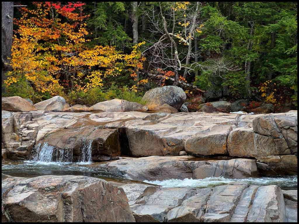
The roadway leading to the national forest is not unlike many small towns that nature-seeking tourists visit for outdoor recreation. The streets are lined with all sorts of outdoorsy amusements. There’s an Alpine climbing establishment, a place with climbing towers and wiggly rope bridges (and safety netting) to get you trained up for your next mountain adventure. The Mountain Trading Company is here in case you forgot something important for your climbing, hiking or biking needs, a Columbia shop in case you get too cold in the autumn mountain air, a happy, Life Is Good t-shirt shop, eateries, drinkeries, and souvenir shops. Last but not least, the ubiquitous Dunkin’ Donuts where we stop to grab my favorite large iced caramel decaff, latte, with low-fat milk for me. Paul grabbed a couple of donuts in case we get lost or stranded along the highway. I’m picking up some bad habits that will need breaking when we return home.
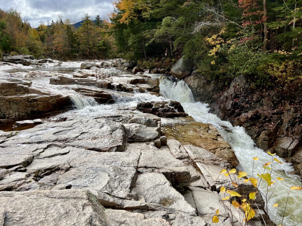
The Kanc “Highway” (which was just a two lane road) was a treat to travel along. There are many well-marked turnouts with overviews of mountains and valleys, most with informational boards about the landscape in view and hikes of various lengths and abilities. Most turnouts lead to some very special locations just off the highway. There are also a number of campgrounds, which all seemed to be closed for the season.
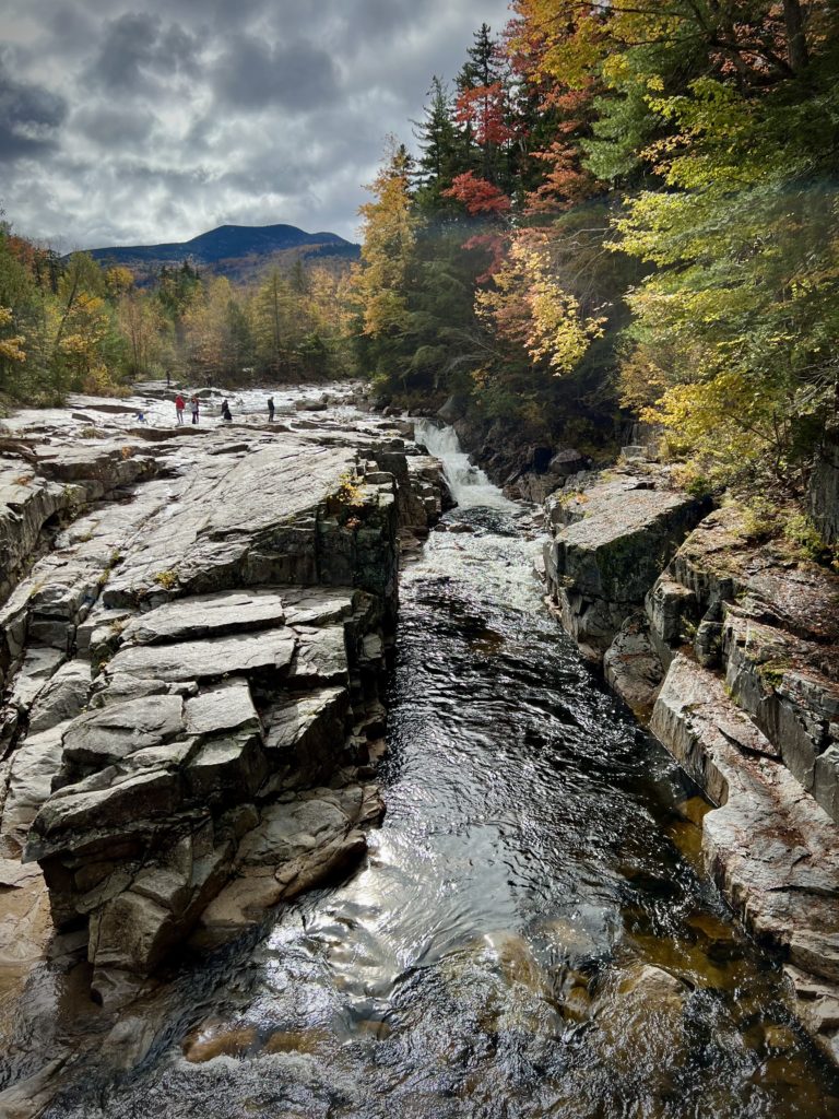
This waterfall had official steps down to the rocks to get you close to the falls. They were a powerful force of rushing water that could be heard even in the parking lot. There is also a bridge to cross over to the other side that not only gives you a good facing view of the falls themselves but also takes you to a path through the woods.
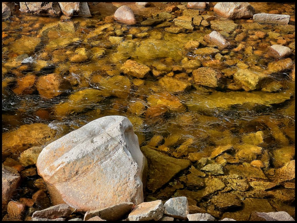
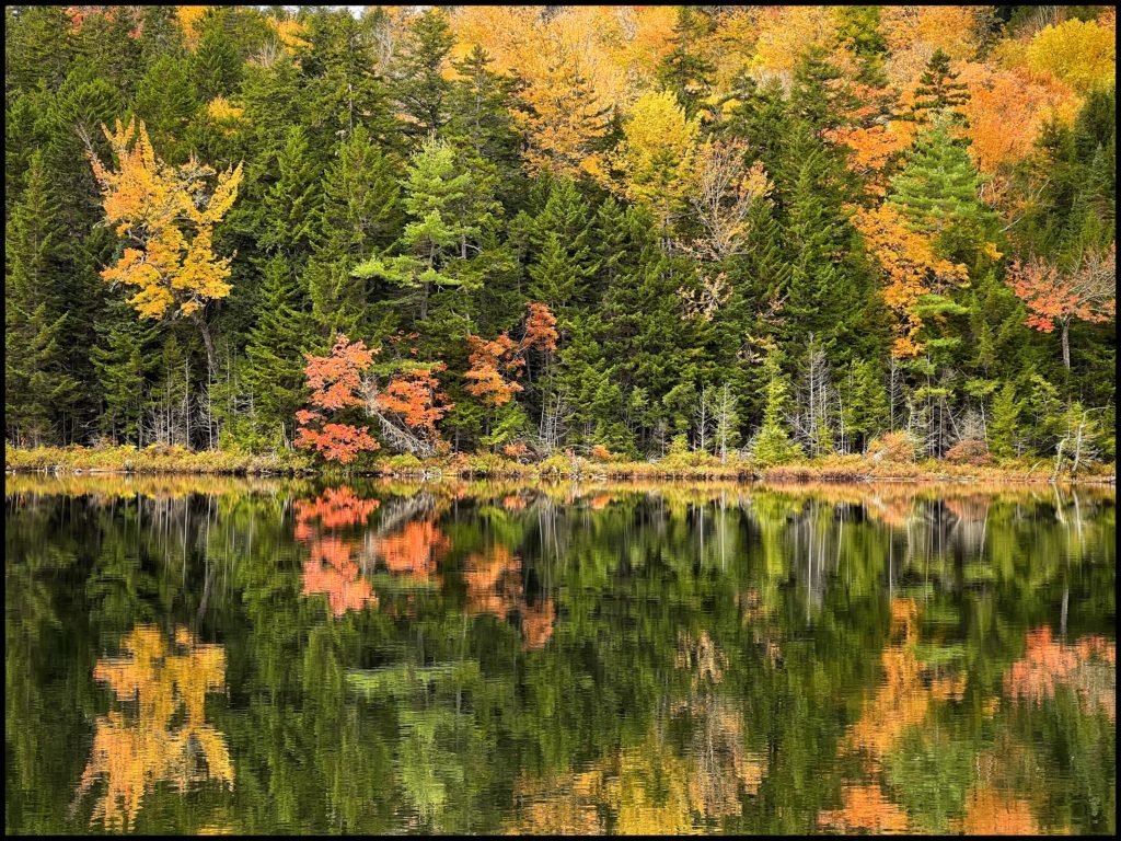
We followed the path which took a winding turn over the crest of a hill. Here you have to decide which trail to follow, some were long, some short. We chose the one leading to a small pond. There were people here sitting taking in the view. No one was chitchatting or being loud, it was very serene. It felt like a sacred space. Finding some rocks to sit upon, we joined the others for a few moments of tranquil meditation.
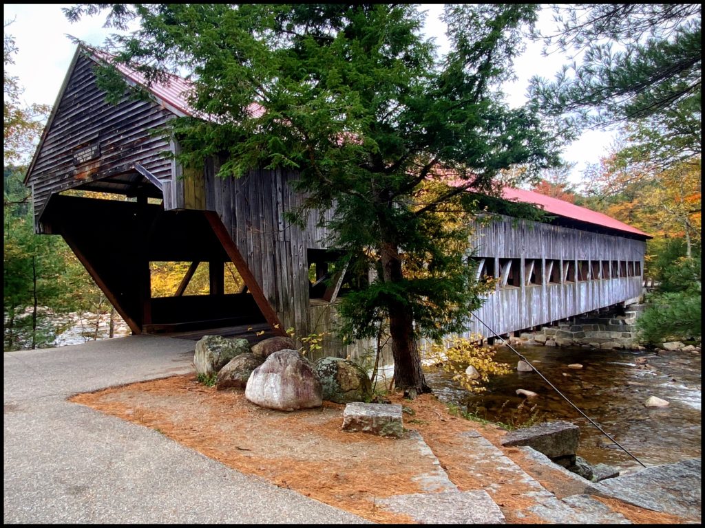
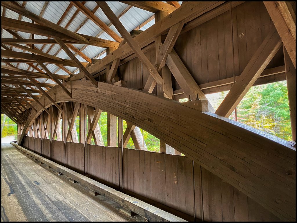
We continued down the Kanc taking in the overviews and look out points. We found a nicely preserved covered bridge which was a main hub for transferring goods back and forth back in the day.
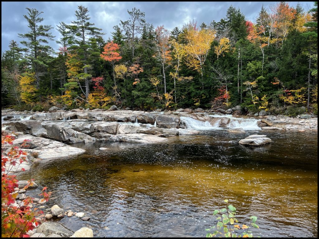
Close to the end of our journey on this route, we came to another very long and winding set of waterfalls. The glacial waters passing over huge boulders carving out all sizes of rivulets and watery steps as the river made its way to connect to its sister somewhere downstream. What made this location particularly popular was the fact that the falls created a huge swimming hole used by the locals and tourists over the years (in warmer months!).
The Kanc ends at Conway, a sleepy sort of village, at least the part at the end of the highway. We decided to make extend our driving tour creating a loop by following the road northward to North Conway on 302.
This was a very busy town with a classic old train station offering trips into the mountains, nice upscale shops, and of course more food and craft beer places.
Route 302 takes you close to Mount Washington and puts you into the Franconia portion of the White Mountains. It wraps around the upper section of Kanc Highway. Route 302 is a larger road, with less stopping points along the way. It is full of history, natural beauty, and some glamor. Mostly, it is a very large ski area now. There are lots of little hotels, motels, mom and pop cabins, and luxury resorts awaiting winter arrivals.
While driving along a particularly deep valley, we were greeted by a couple of water flumes. These tumbled down from the very tops of the mountains, cascading down the sides and under the roads spilling further down into the hidden valley below. While being mesmerized by those we just barely caught a glimpse of what looked like a rail trestle high up on the opposite hill, so we made a quick turnoff and took another look up the mountain. No sign of it could be seen.

On our way back from the bridge over the natural water flume, we could make out the edge of a stone railroad trestle. As we got a better look, we could make out that the tracks were well maintained and it appeared to lead into the mountains a short distance away from the structure. These old structures stir thoughts of the enormous fortitude, vision, and skill the early builders brought forth.
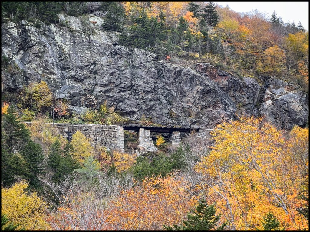
A bit further up the road, we reached the summit and could see where the train came out of the mountain. It seemed to come dangerously close to the road and could scare the bejeebers out of some unsuspecting tourist unaware of its existence.
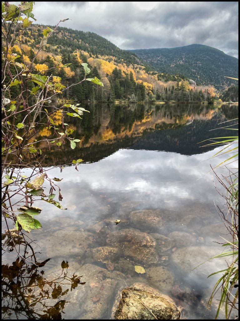
The top of the mountain was flat and somewhat open, in the distance you could make out an old train station. More interesting to us was a nice size pond to our right. The rivers and ponds are so clear, you can see right down to the bottom of them in many places.
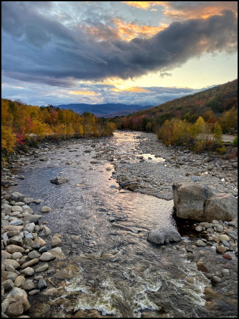
Further down the road, there was an expansive flat high valley and there in the middle was situated a grand old hotel. Tomorrow, we will feature some tales about this and another location from today’s adventure. It’s late now and we have another day of exploring tomorrow, so I am ending with this evening sunset and will continue this saga tomorrow.
Lovely photos as usual. It’s amazing what you are able to do with your Brownie. I have no problem with your meal descriptions. I was taking a shortcut to home through the parklands off The Kirk (short for Kirkwood Highway) and stopped to eat a too huge lunch at Panang when I read the breakfast description so the two meals were worlds apart except I did have eggs in my noodles.
PS – I think I have a suspicion as to the identity of the mysterious blog poster with the initials CP.
Hey, keep your suspicions to yourself. I agree the meal description was pretty great! I do, however, see Paul’s point about the slippery slope. I laughed and laughed about lunch after roughing it along the Kirk.
Loved it ! So beautiful good for the soul